One Platform. Ready for More Missions.
Tell us what you need to capture and how
Schedule a demoTalk with a drone specialist
See What the Naked Eye Can’t
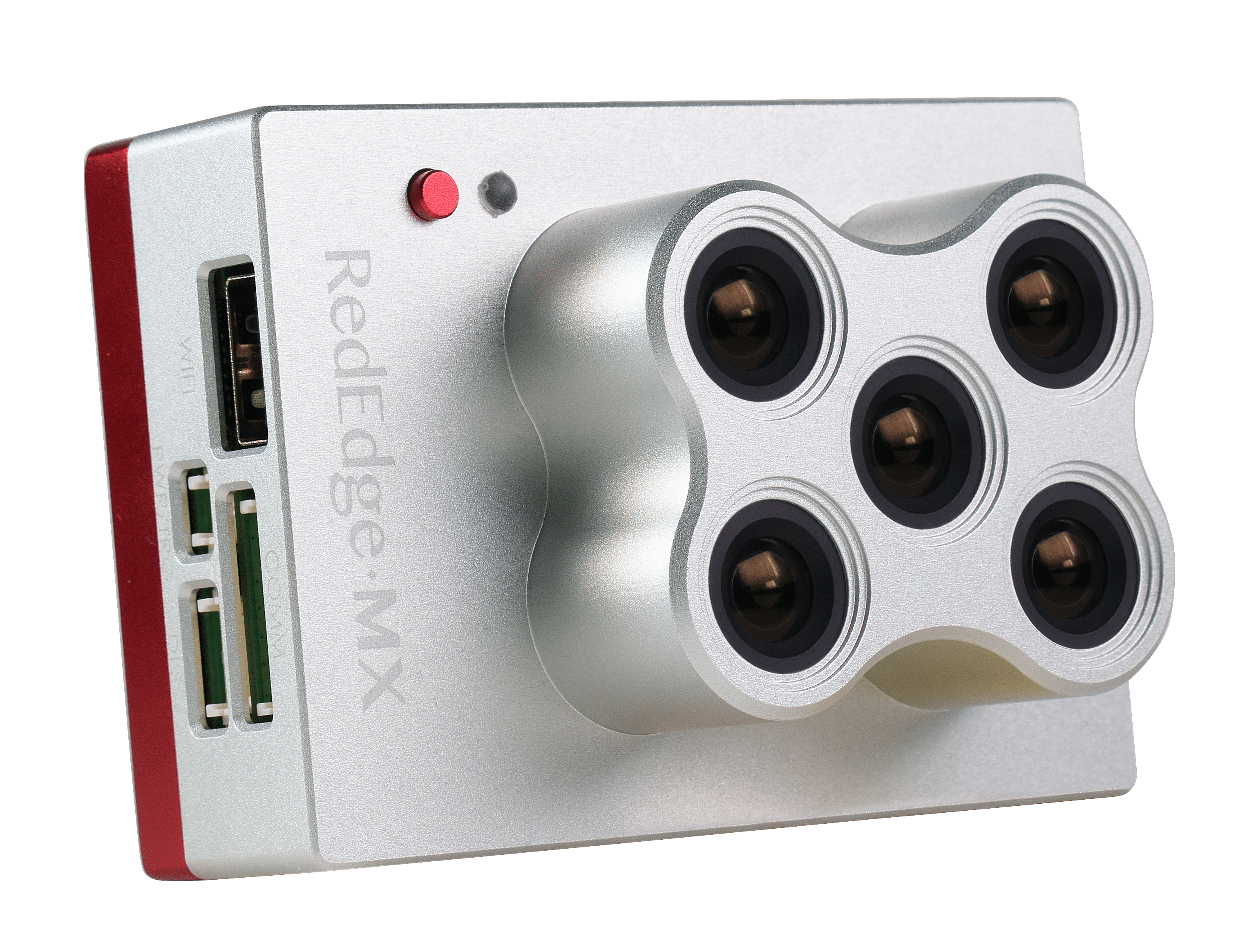
The MicaSense RedEdge-MX captures five precise spectral bands (Blue, Green, Red, Red Edge, and Near-IR), turning every flight into actionable crop health data. Paired with the DLS 2 light sensor for real-time radiometric calibration, it delivers consistent, science-grade NDVI and NDRE imagery mission after mission.
Bands
Weight
GSD
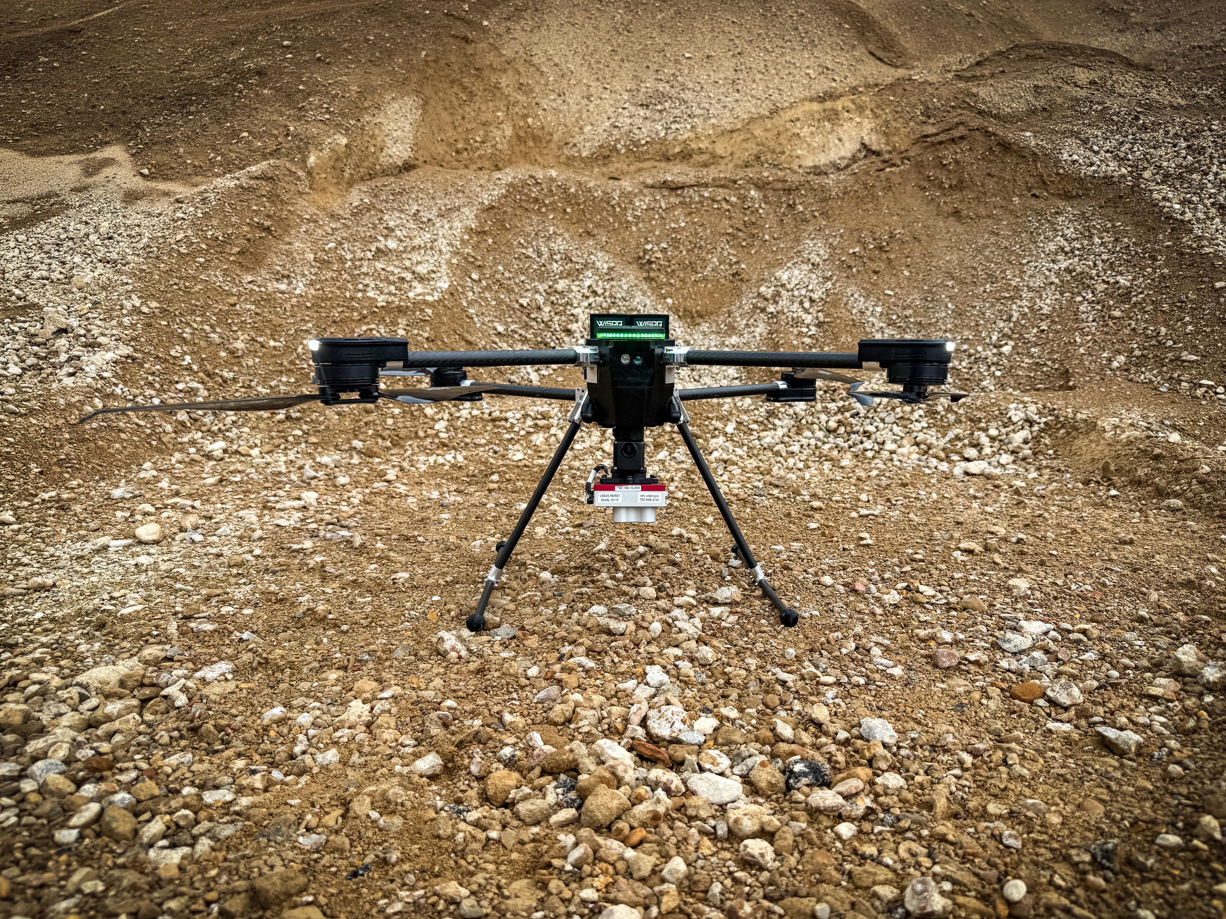
Turn raw reflectance into decisions across the growing season.
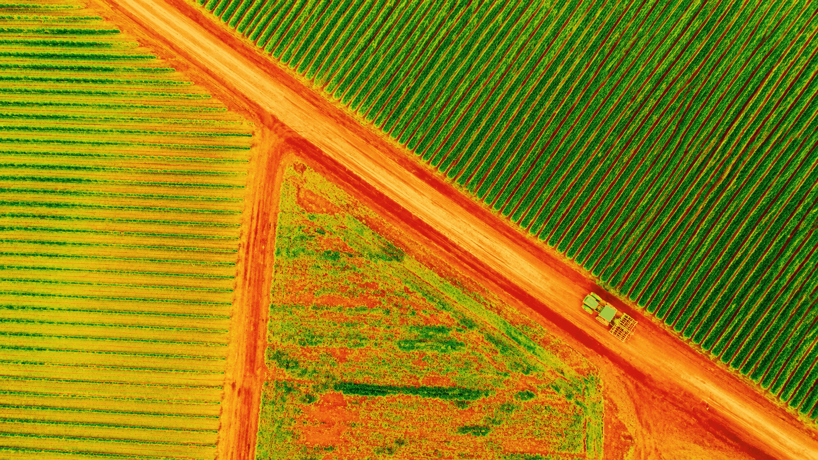
The RedEdge-MX records calibrated reflectance in five bands on a single pass, feeding the vegetation indices agronomists rely on to spot stress, disease, and nutrient deficiency before they show up to the naked eye.
Learn More About the RedEdge-MX
Review sample multispectral imagery and index outputs captured with the RedEdge-MX. See NDVI and NDRE maps built from DLS 2 calibrated data, showing consistent results across variable lighting and repeat flights.
Calibrated multispectral capture for crop health and vegetation analysis.
The included Downwelling Light Sensor 2 (DLS 2) measures sun angle and irradiance in real time, correcting for lighting changes mid-flight so reflectance values stay consistent. The result is radiometrically accurate data you can compare flight to flight and week to week.
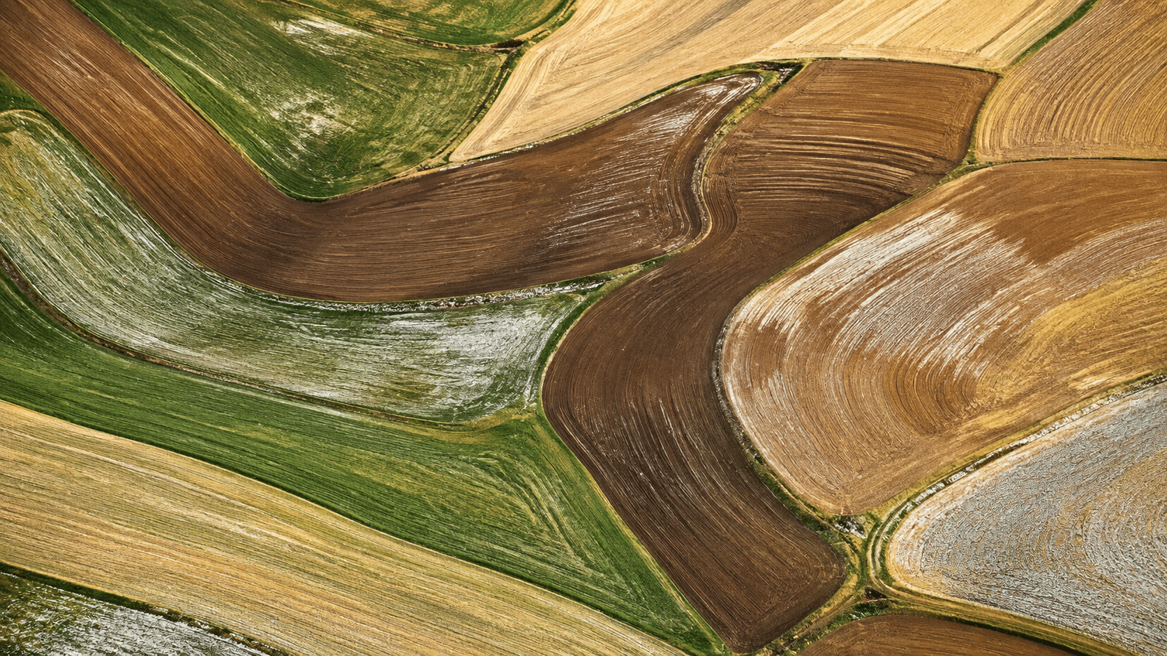
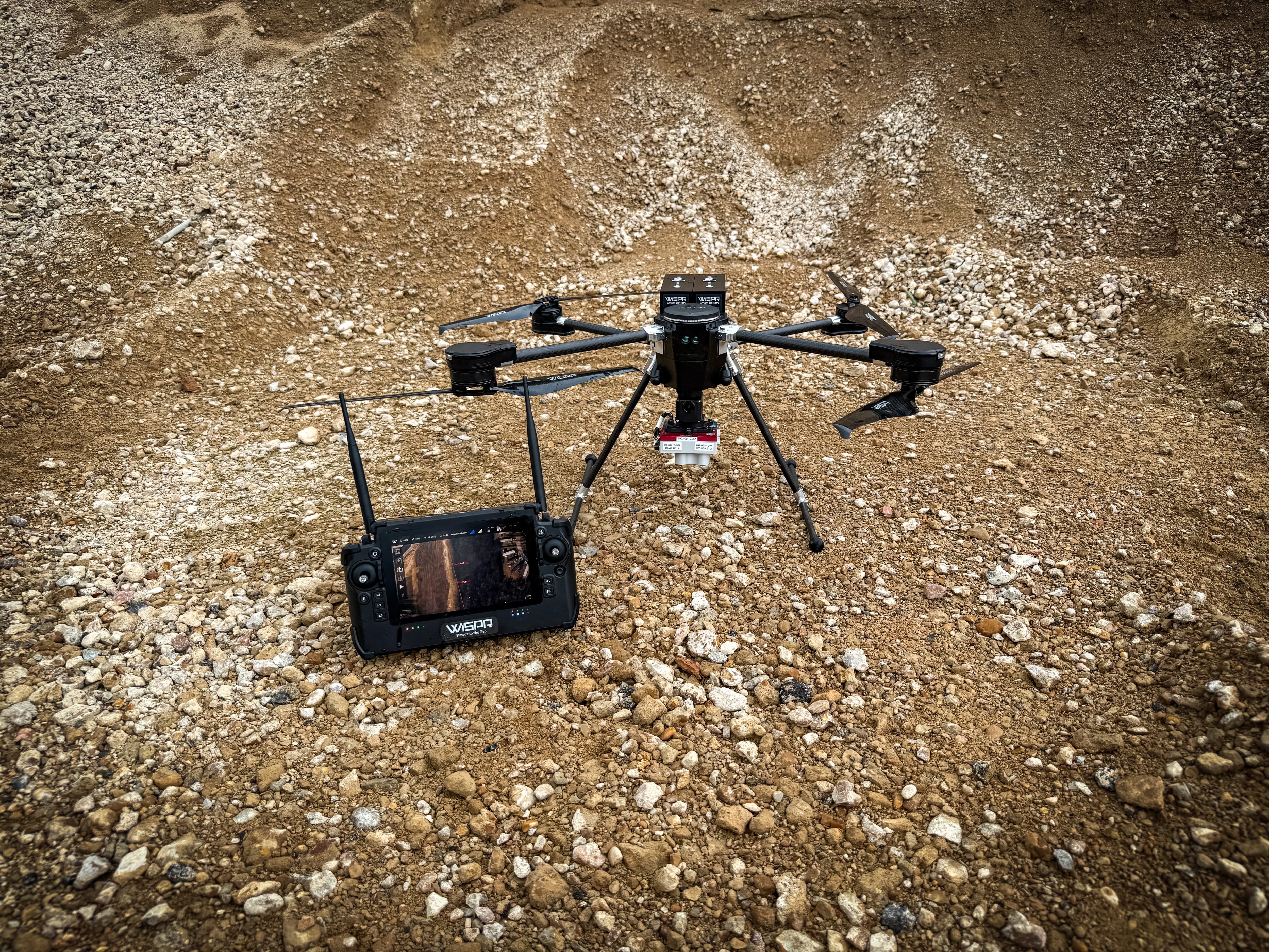
Ethernet, serial, Wi-Fi, and GPIO triggering give you multiple paths to connect the RedEdge-MX to the SkyScout 2. Integrated GPS through the DLS 2 geotags every capture automatically, so imagery is ready to process on landing.
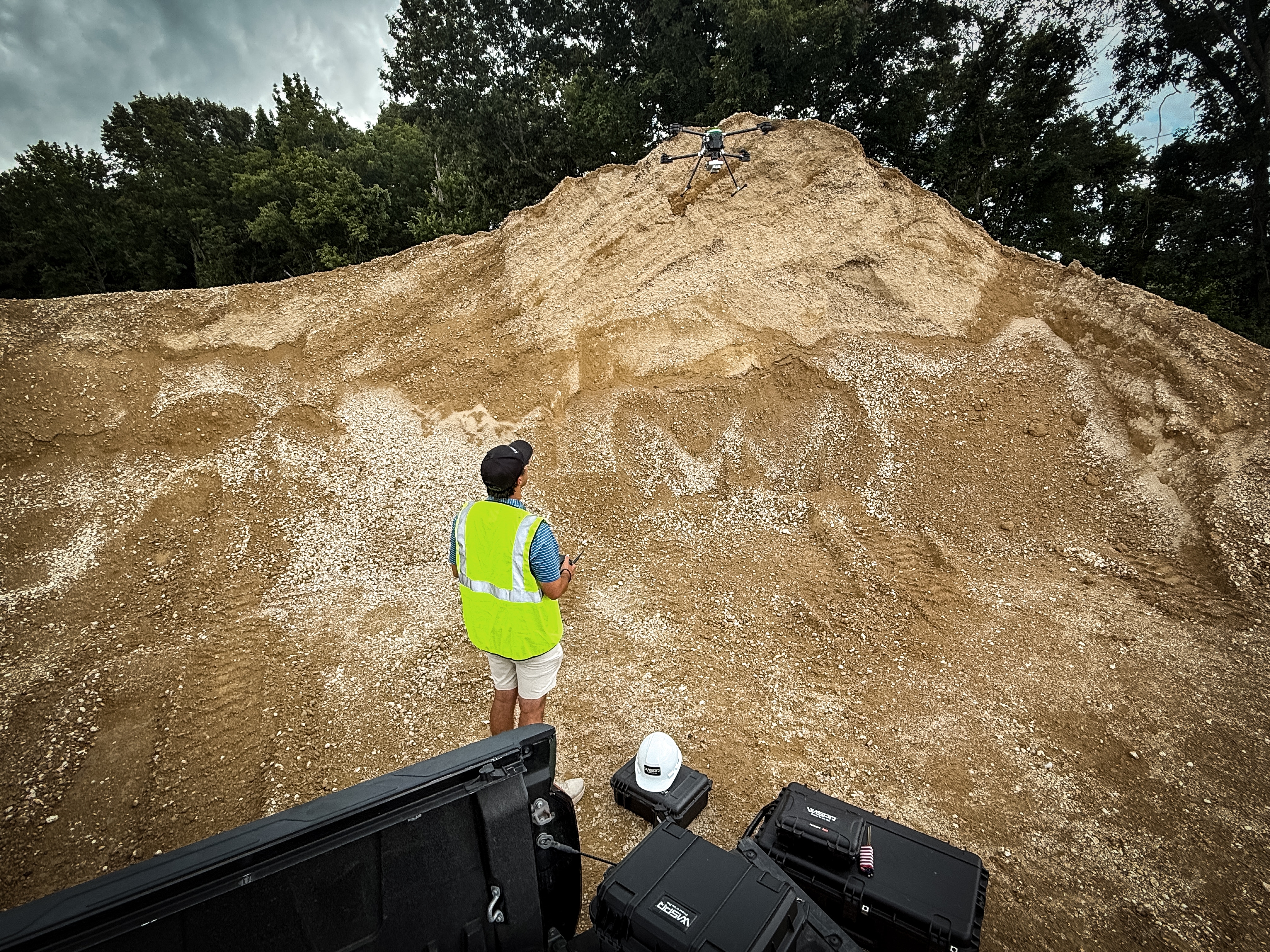
A 12-bit global shutter captures all five bands simultaneously with no rolling-shutter distortion, even in motion. At 231.9 g and 83 x 59 x 45.4 mm, it is built for repeatable agricultural and inspection work in real field conditions.
Output is compatible with leading photogrammetry and analysis software, including Pix4Dfields and Agisoft Metashape, so index maps and orthomosaics fit your existing pipeline.
5-band multispectral (Blue, Green, Red, Red Edge, Near-IR)
1.2 MP (1280 x 960)
12-bit
Global shutter, no rolling-shutter distortion
5.4 mm
47.2° x 35.4°
8 cm/px @ 120 m · 4 cm/px @ 60 m
1 Hz at full resolution
128 GB SD card included
475 nm center, 20 nm bandwidth
560 nm center, 20 nm bandwidth
668 nm center, 10 nm bandwidth
717 nm center, 10 nm bandwidth
840 nm center, 40 nm bandwidth
NDVI, NDRE, and other vegetation health indices (Center and bandwidth values are for cameras with serial number RX02 or higher.)
5V
4.0V to 15.8V
4.0 W
8.0 W
Ethernet, serial, Wi-Fi, GPIO
GPIO and software-triggered capture
Automatic via integrated GPS (DLS 2)
Drop-in payload for SkyScout 2 / 2+
Pix4Dfields, Agisoft Metashape, and other leading photogrammetry tools
Real-time sun angle and irradiance measurement
Radiometric correction across variable lighting
Integrated, provides automatic image geotagging
83 x 59 x 45.4 mm
231.9 g
The RedEdge-MX gives growers, agronomists, and researchers a proven multispectral toolset for measuring plant health at scale. Five calibrated bands and DLS 2 radiometric correction produce NDVI, NDRE, and related indices you can trust across fields, seasons, and repeat flights.
Integrated as a SkyScout 2 payload, it delivers science-grade data without added complexity, moving you from flight to insight faster and giving precision agriculture and vegetation programs a dependable source of truth.
Ready to put the RedEdge-MX to work on your crop health or vegetation program? Request a custom quote tailored to your operational requirements.